Filter
Filter
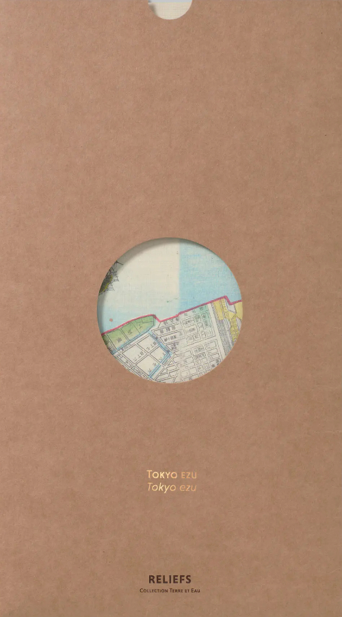
Map of the Surroundings of Tōkyō and Mount Fuji (1842)
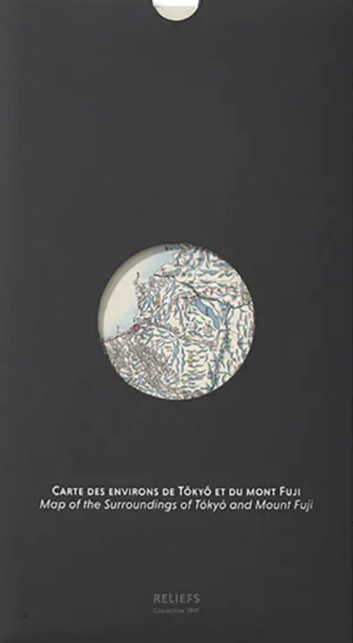
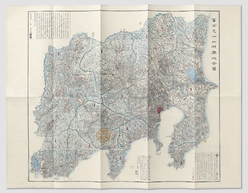


Map of the Surroundings of Tōkyō and Mount Fuji (1842)
| Author | Einen Bokusen |
|---|---|
| Publisher | Reliefs Editions |
| ISBN | 9782380362169 |
| Idea Code | 250271 |
This vast, north-south oriented map is teeming with topographical details (reliefs and waterways), political features (roads, provincial borders, checkpoints), and 'touristic' points of interest (staging towns, villages, and scenic spots). It was published during a turbulent period in Japan’s history - the Tenpō era (1830–1844) - a time marked by climate crises, popular uprisings, and the failed economic reforms at the end of the Tokugawa shogunate (1603–1868). The map depicts the eight provinces of the Kantō region ('Eastern Barrier') - a 32,000 km² area dominated by Mount Fuji (3,776 m) and named after the checkpoints along the Tōkaidō road, which connected Edo (future Tokyo) to Kyōto - along with five additional provinces, which were also redrawn and renamed during the Meiji era.
| 1 , ills colour, 18 x 33 cm, map, French/English |
Reliefs Editions

