Filter
Filter
Map of Japan in Meiji (1886)


Map of Japan in Meiji (1886)
| Author | Kabai Tatsunosuke |
|---|---|
| Publisher | Reliefs Editions |
| ISBN | 9782380361889 |
| Idea Code | 250272 |
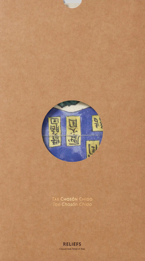
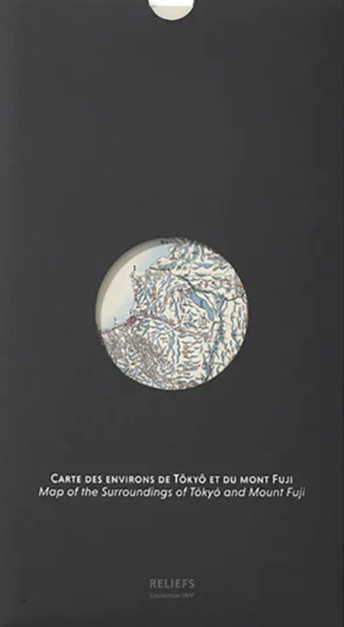
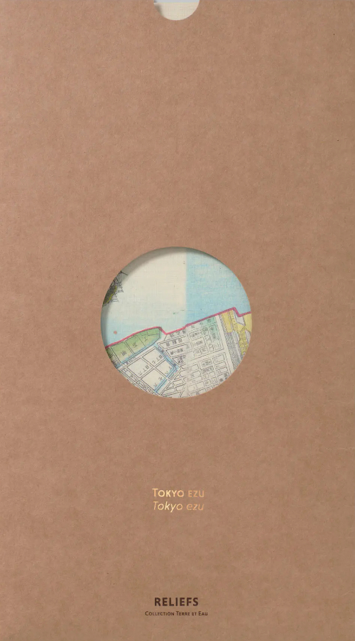
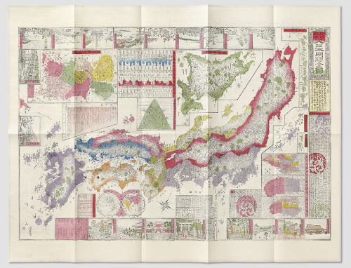
This multi-entry map (chizu), brimming with detail, focuses on Japan’s main islands: Honshū, Shikoku, and Kyūshū. It also features the other islands and archipelagos of the empire in separate insets: Ezo, the northern island, annexed in 1869 and renamed Hokkaidō; the Kuril Islands archipelago; the Ryūkyū Islands; and the Ogasawara Archipelago. Additionally, the map offers detailed plans of Tōkyō, Kyōto, and Ōsaka. The administrative division of Korea (Chōsenkoku) reflects its status under the influence of both China and Japan (it would be fully colonised by Japan in 1905). Other insets provide information on the country’s mountain peaks, waterways, administrative departments, and the distances between various cities and Tōkyō. To further captivate the viewer beyond its impressive depiction of physical and political geography, the map is framed by around twenty charming vignettes showcasing iconic landmarks from both urban and rural Japan.
| 1 , ills colour, 18 x 33 cm, map, French/English |
Reliefs Editions

